Satellite Projects
Transforming Earth observation data into actionable insights for environmental monitoring, precision agriculture, and disaster response across the globe.
87+
Projects Completed
50M
Hectares Monitored
98.5%
Accuracy Rate
24/7
Monitoring
Project Categories
Specialized solutions across diverse applications of satellite technology and remote sensing
Environmental Monitoring
Forest change detection, biodiversity assessment, and ecosystem health monitoring
32 Projects
Agriculture
Precision farming, crop health analysis, and yield optimization solutions
28 Projects
Urban Planning
Smart city development, infrastructure monitoring, and land use analysis
45 Projects
Disaster Response
Emergency management, risk assessment, and rapid damage evaluation
21 Projects
Project Gallery
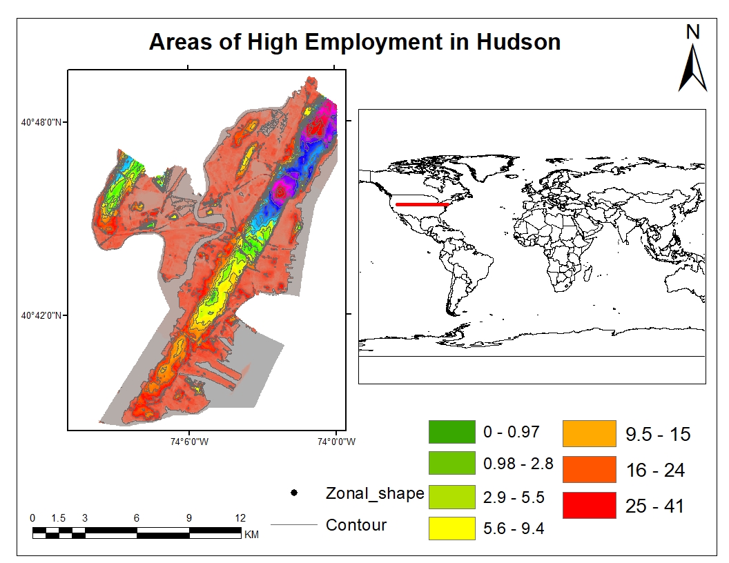
 Environmental monitoring
Amazon Rainforest Monitoring
WWF Brazil • 2024
Satellite
Sentinel-2
Area
2.1M hectares
View Details
 Agriculture
Precision Agriculture
AgriTech Solutions • 2023
Satellite
Planet Labs
Area
50,000 hectares
View Details
 Urban planning
Urban Heat Island Analysis
City of Barcelona • 2024
Satellite
Landsat-8
Area
101 km²
View Details
Project Impact
50M+
Hectares Monitored
98.5%
Detection Accuracy
24h
Response Time
65
Countries Served
